This Teacher Wishes Her Content Wasn’t Relevant

View from the Classroom

The Unique Challenges of Teaching About Environmental Injustice to Students Who Are Living It 

Satina Ciandro’s environmental science students have experienced environmental injustice firsthand, which, paradoxically, makes it harder to teach about climate change.

On the one hand, it’s personal- offering baked-in relevance. On the other hand… it’s personal. Which means it’s also emotionally fraught.

“It took me 23 years of teaching science to really teach about climate change. Not just mention it, really teach it,” admitted Ciandro. 

A Student Body Familiar with Inequity

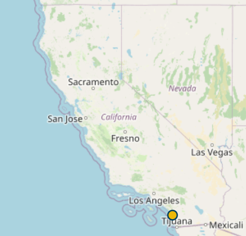
Ciandro teaches science at Watsonville High School, located in a small city in the Monterey Bay Area of California. 96% of her students are Hispanic. 88% of her students are economically disadvantaged. 

“Most of my students are students of color and they understand injustice very well,” said Ciandro.

In fact, many of her students were directly impacted last March when the Pajaro River Levee was breached, flooding homes in a low-income community primarily inhabited by migrant workers and their families. Needed repairs on the levee had been deferred by the Army Corps of Engineers when their cost-benefit analysis concluded the low home values in the area didn’t warrant prioritizing levee repairs.

Getting Past the Paralysis

The breach is just one example of environmental injustice Ciandro’s students have faced. A 2021 Environmental Protection Agency study indicated, “…the most severe harms from climate change fall disproportionately upon underserved communities who are least able to prepare for, and recover from, heat waves, poor air quality, flooding, and other impacts.” Racial and ethnic minority communities are particularly vulnerable, they stated. 

Ciandro’s hesitancy to really go deeply into climate change stemmed in part from recognition that discussing yet another example of environmental injustice would be triggering for her students. She worried her lessons would be all doom and gloom. 

Ciandro also worried about her lack of perspective. How could she teach about an experience she had not had?

“I am a white lady… I don’t know what they are living through,” she said. 

Getting it right felt insurmountable.

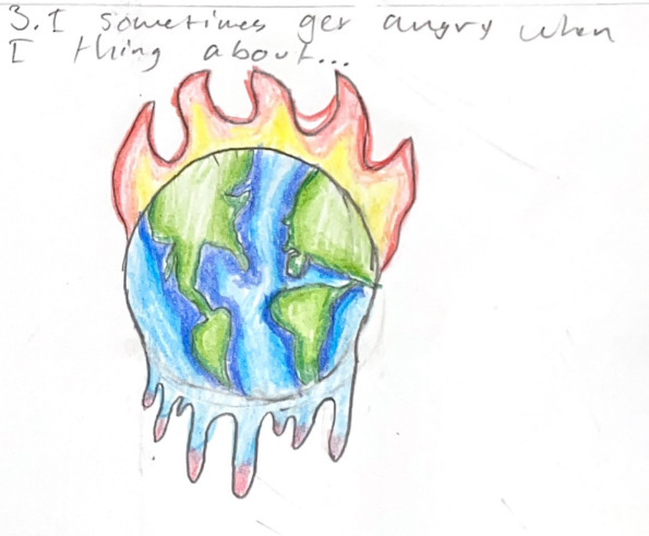
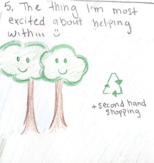
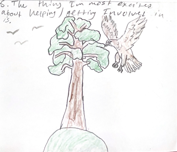
Over the past few years, Satina has picked up a few trauma-informed strategies that help her feel more comfortable delving into the science of climate change and all of its messy ramifications. She’s learned that providing time and space for students to process things that are emotionally triggering is imperative. Ciandro incorporates art, journaling, and other forms of reflection into her science instruction. 
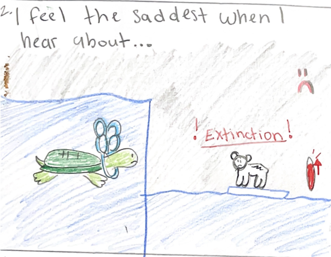
She’s also learned that focusing on solutions helps reduce the doom and gloom factor.

“You can’t just point out the injustice and not do anything about it,” Ciandro said. 

A recent study revealed 59% of young people ages 16-25 were “very” or “extremely” worried about climate change, a phenomenon increasingly known as eco-anxiety. Some eco-anxiety can spur people to action; too much eco-anxiety can have the opposite effect, leading to despair and inaction.

Having students take steps to help solve the problem can be empowering and can reduce anxiety. She cautioned, however, that you need to explore solutions in a way that does not put all the burden on the students to figure it out.  

“That’s the point of the whole lesson- not to make you feel bad, but to consider what are the solutions, and how are we going to do the things to fix it?”
Striking the Balance with Urban Heat Islands

Recently, Ciandro applied these trauma-informed strategies in an urban heat islands unit. Ciandro was inspired to take this angle by Dr. Tammie Visintainer when she participated in her National Science Foundation-funded Climate Justice Action Research Summer Program at San Jose State University. The cohort of participating educators are all using urban heat islands as a lens to investigate climate justice with their students. 

Urban centers tend to be hotter than surrounding rural areas. Materials like brick and pavement absorb and hold onto more heat than vegetation. This creates “islands” of heat. As the climate changes, heat-related deaths have also increased. Heat-related deaths in the United States spiked 59% between 2018 and 2022 according to the National Center for Health Statistics. People in cities are at higher risk of heat-related ailments.

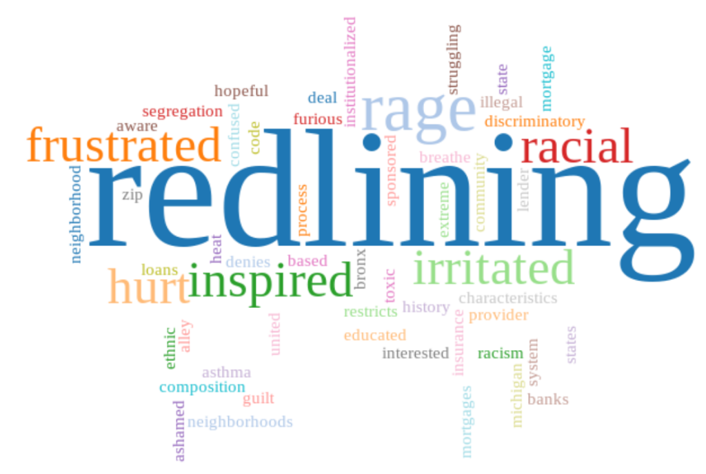
Ciandro knew from her program that even within the cities, however, the effects of heat are not felt equally. Urban areas with fewer trees get hotter. Urban areas with lower tree density usually have two other things in common: high minority populations and historical subjection to redlining. Redlining was a practice carried out by lenders to create policies around who they would lend money to.

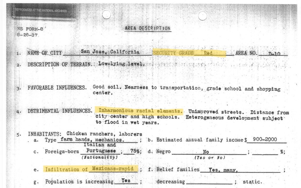
Certain districts were “redlined”. Mortgage lenders marked them in red on the maps, which meant they were coded as “hazardous.” Banks would not give mortgages to people buying homes in redlined districts. The rationale listed for assigning a specific neighborhood rating often cited race.

In nearby San Jose, California, for example, agents specifically noted one of these two reasons: “inharmonious racial concentration” or “heterogeneous” for five of 12 districts rated “hazardous.”
“When I went through history class in my white suburban school, I never learned about redlining. I did not know that it was on purpose and that it was systemic. I didn’t know. I know it’s not an excuse, but I’m learning with them,” said Ciandro.

Ciandro wants to make sure her students do learn about redlining. She designed a two-month long, project-based unit around the urban heat island phenomenon. Within the course of her unit, she wanted her students to discover the temperature differences; do some experiments to determine what factors affect temperature in our built environment;  uncover the correlation between the 1930s neighborhood ratings and heat; and to take action to make a change.

How Tuva was Able to Help

Ciandro found that premade graphic visualizations about urban heat islands are easy to find, but she wanted students to be able to explore and manipulate the raw data themselves. Discovering a relationship on your own as you tinker with data makes a bigger impression than observing it on a premade graph. Ciandro’s go-to program for data exploration is Tuva. Ciandro has been a loyal Tuva user for many years and uses at least one Tuva activity per unit in her environmental science course.

Ciandro immediately went to Tuva in search of a relevant dataset but was disappointed to find we did not have one. After a conversation with us this summer during which she expressed a need for a dataset about urban heat islands and redlining, Tuva team member Annette Brickley curated one. She located a 2020 research paper by Hoffman, Shandas and Pendleton from Groundwork USA. When Brickley reached out to ask for permission to use the data on Tuva, Hoffman generously shared their complete dataset.  Tuva’s dataset pulls out data from seven of the U.S. cities included in Hoffman’s paper.

Later, Ciandro used Tuva’s Activity Builder to create a lesson that would help her students explore the dataset and discover relationships between neighborhood grade, tree canopy, impervious surfaces and temperature. The story the data tells is pretty bleak, but Ciandro manages to infuse hope at the end of the activity.
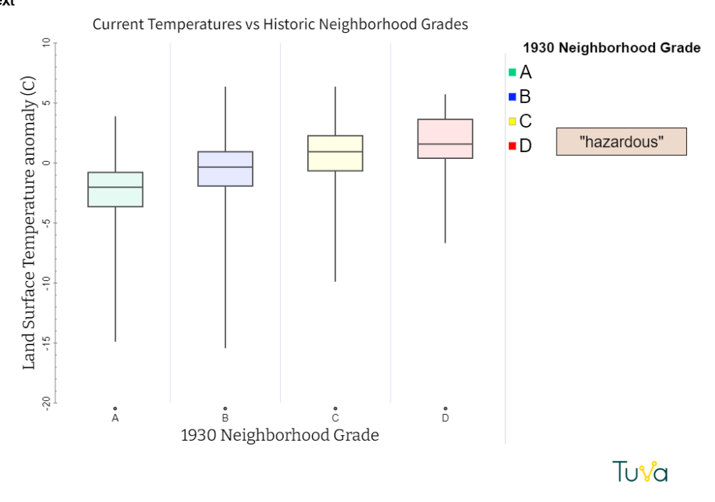
Box plot showing that neighborhoods given ratings of C and D in the 1930s are hotter today than those that were rated A or B.

“Imagine you are a city planner and your job is to allocate funds for a major climate action grant,” she writes. “How will you distribute the funds to each type of neighborhood? Justify your answer using data.”(We liked her activity so much, we published it. Access it here.)

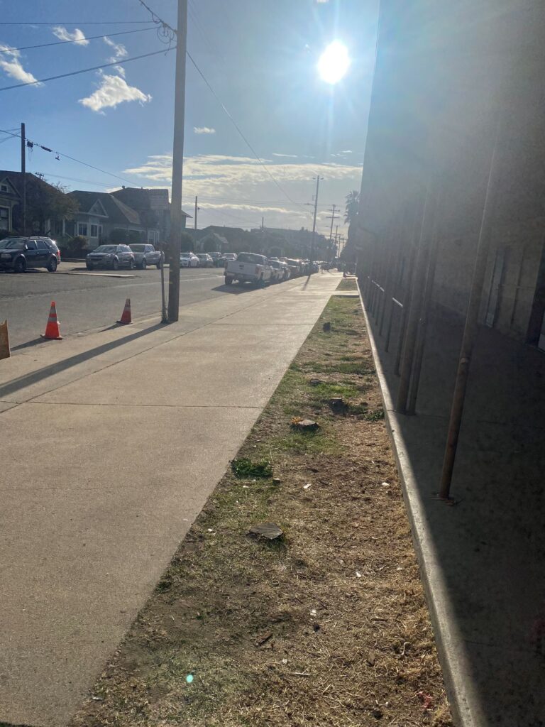
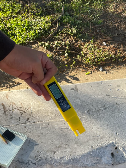
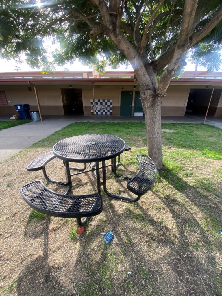
Ciandro’s students also collected data across the Watsonville High School campus. Each group selected two spots, collected surface temperature data once per week, and entered the data on Tuva. Through this exercise, they observed locations near concrete were consistently hotter than green spaces.
Student Empowerment

As the unit neared its end, four of Ciandro’s students – Jazmyn, Mario, Rocio and Anail- gathered around a Zoom meeting to tell me about their learning experience.

“I did not realize how impacted our little city is because it is so based on concrete,” noted Anail. “My (part of the) city is in the red line,” she added.

The other students agreed with Anail that the last few months have been eye-opening. Until this unit, they did not know urban heat islands existed let alone that extreme heat is worst in areas that were historically redlined. The other thing they agreed on was that everyone else in Watsonville should be made aware of the problem too. Jazmyn laid out her hopes for her community.

“I want them to get a better idea of how it actually affects us in our daily lives, I want them to not feel negative because there are solutions to it, and I want them to come together as a community to plant more trees,” she said.

As a culminating project, student teams created podcasts to help educate their community. The podcasts, which they plan to submit to the KQED Youth Media Challenge, played the dual role of helping students process injustice and giving them a way to fight back against it. (Want a sneak peek before they’re live? Listen to Jazmyn and Mario’s submission here.)

Teaching Tough Topics: “Something We Need”
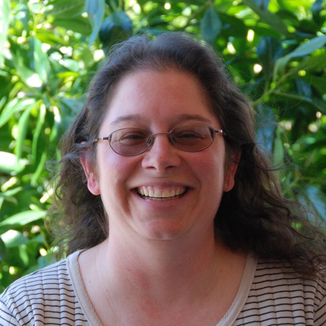
Ciandro says teaching tough topics helped her grow as a teacher.

“It helped me as an educator to teach something that is tough to teach. It is a different way of teaching, and it’s something we really need,” said Ciandro.“You have to do your best and hope you are going to do more good than harm.”
Data Visualizations Make the Invisible Visible for Hands-on Learners

View from the Classroom
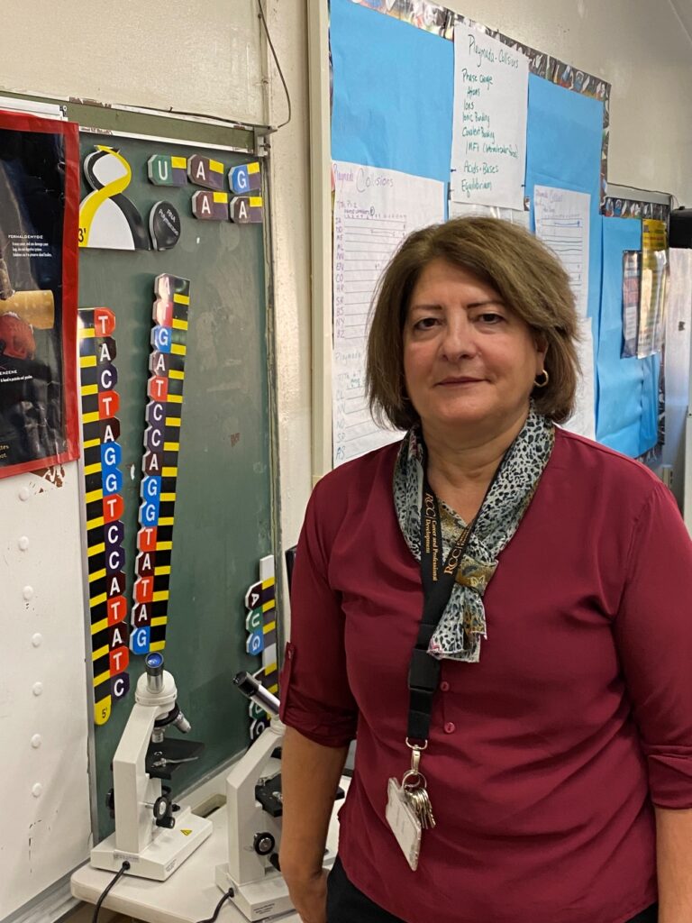
Catia Wolff in her classroom.

A strand of human DNA is a mere 2.5 nanometers wide. To put that in perspective, a sheet of printer paper is 100,000 nanometers thick. It’s no wonder high school microscopes are not powerful enough to enable students to view DNA! That poses a challenge for high school biology teachers, though. Anything at such an infinitesimal scale is abstract. It’s quite the trick to teach about how structure relates to function for something none of the students have ever seen. 

High school science teacher Catia Wolff recognizes the need to make genetics more concrete for her students. This is especially true because of the population of students in her classes.

“Our school attracts students that prefer working on hands-on projects rather than a traditional setting,” explained Wolff.

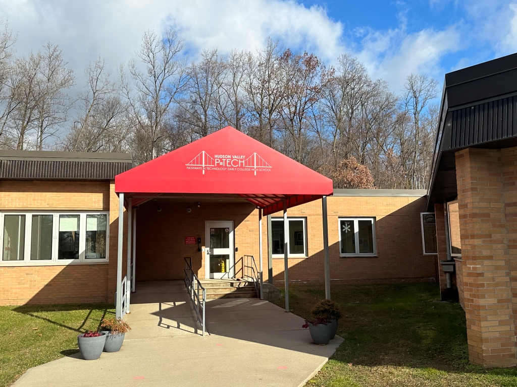
Wolff teaches at the Rockland BOCES Hudson Valley Pathways in Technology Early College High School, more commonly referred to as Hudson Valley P-TECH. The program is part of the larger New York State P-TECH Program initiated a decade ago with dual goals of preparing students for high-skill, high-wage STEM jobs and ensuring employers have access to a talented and skilled workforce. Students who complete the program at Hudson Valley P-TECH graduate with both a high school diploma and an associates degree at Rockland Community College.  The school tends to draw students with a talent for and affinity toward working with their hands. 

Hudson Valley P-TECH attracts students who are hands-on learners.

Wolff carefully selects and sequences lessons to make genetics more tangible. Her process starts with three-dimensional modeling. She gives her students a DNA sequence. Students create a complementary DNA strand. Then they model the processes of transcription and translation, simulating how a cell carries out protein synthesis.  

After completing this process, Wolff found her students were still struggling to understand how all the cells in our body can have such drastically different characteristics while housing identical DNA. They didn’t understand what gene expression means. They needed something more. What Wolff did next did not surprise P-TECH Guidance Counselor Allison Paul. 

“Tuva caught my eye right away. Students can see it, they can manipulate it. They can do it. They’ll say, ‘Look what I made!’”

“She is always learning. When most teachers just want to take the summer off, she is taking a course. She is constantly learning and constantly trying to improve,” said Paul.

Instead of adding in a lecture, reading or video, Wolff began searching for resources that would cater to her students’ learning style. What she found was Tuva’s activity Genes: To Express or not to Express? That is the Question

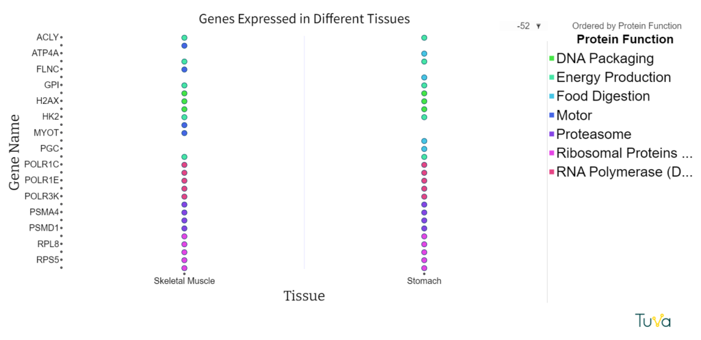
The activity uses a dataset curated from The Human Protein Atlas, a Swedish-based program with the aim to map all the human proteins in cells, tissues, and organs. Tuva’s dataset includes 35 different genes, the function of the proteins they code for, and whether or not those genes are expressed in the tissues that make up the eye, skeletal muscle, stomach and tongue. During the activity, students look for patterns of gene expression and hypothesize an explanation of the results.

“They had to figure out the puzzle. It made them really think. It really sparked conversation,” said Wolff

This dot plot shows the genes expressed in two different tissues: skeletal muscle and stomach. It has tissue type on the x-axis and gene name on the y-axis. The legend shows the function of the proteins created by the genes. Students can see that four genes are expressed in skeletal muscle that are not expressed in stomach tissues.


Throughout the course of the activity, students use Tuva’s drag and drop graphing tools to create visuals that help them compare the tissues and puzzle out why some tissues express certain genes while others do not. Wolf observed that having a model, a graph that students could actually see and manipulate, helped them comprehend how DNA connects to cell function. 

“Tuva caught my eye right away,” Wolff explained. “Students can see it, they can manipulate it. They can do it. They’ll say, ‘Look what I made!’”

Fostering Systems Thinking in the Middle Grades 

View from the Classroom

Foley Teaches Complexity Using Multivariate Graphs

Downpours in Uruguay, but drought in Peru.  Enormous blizzards in the northeast,  but steeply climbing worldwide temperatures. Climate science can be confusing… especially if you’re only 14 years old.  Without an understanding of complex  systems, it can seem downright contradictory. 

That’s why Maura Foley, an earth and climate science teacher at the Hopkins School in Connecticut, devotes significant energy to helping her students investigate systems interactions.

“Today’s problems are complex problems, so we need thinking that is going to reach outside of these discrete zones of understanding,” said Foley. 

Foley admits that  understanding complexity is part of higher order, abstract thinking – an easier task for her high school students than her middle school students. However, she believes it’s essential to begin building the idea of complexity in the lower grade bands. In her middle school courses, the process of building that understanding starts with noticing how one thing affects another, which affects another, and so on. 

“Today’s problems are complex problems, so we need thinking that is going to reach outside of these discrete zones of understanding.”

“What’s great about Tuva is being able to blow through looking at a whole bunch of variables quickly,” explained Foley. “They don’t need to be a spreadsheet expert to quickly go ahead and make 10 graphs.” 

Foley uses Tuva activities and datasets consistently throughout her Surface to Space class in 8th-grade. Each dataset includes multiple, interconnected variables that students can drag and drop onto the axes to explore correlations.

Global Change Dataset Image
October Weather in US Cities Datset Image
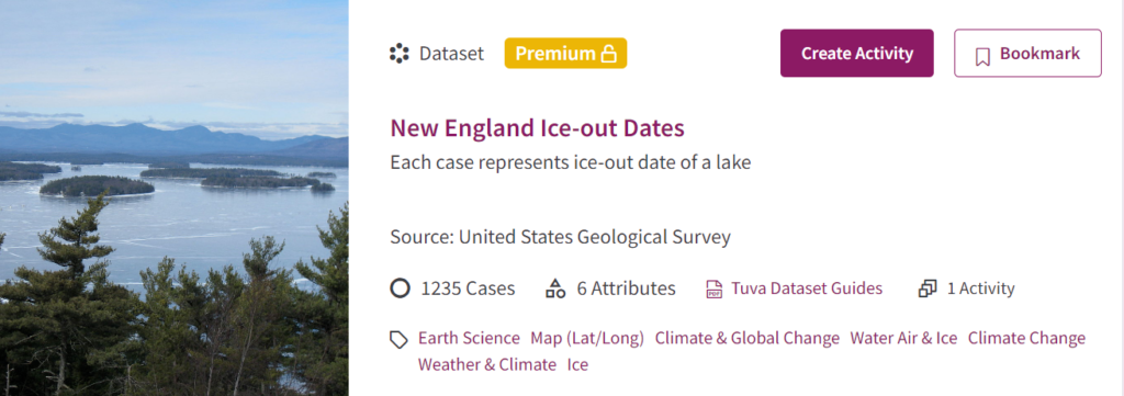
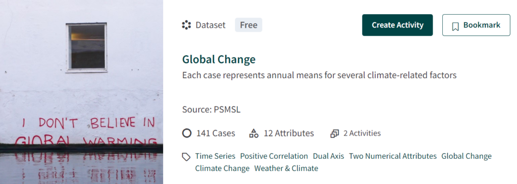
New England Ice-Out Dates, Global Change and October Weather in US Cities are a few Tuva datasets Foley’s students use to explore complex earth and climate systems.

When students first use Tuva, she said there tends to be some oohs and aahs as they watch the dots rearrange themselves. Then, Foley starts to hear students verbalizing the patterns they observe.

“Those observations are able to keep going and going because it’s not like I’ve handed them a simple graph,” said Foley.   

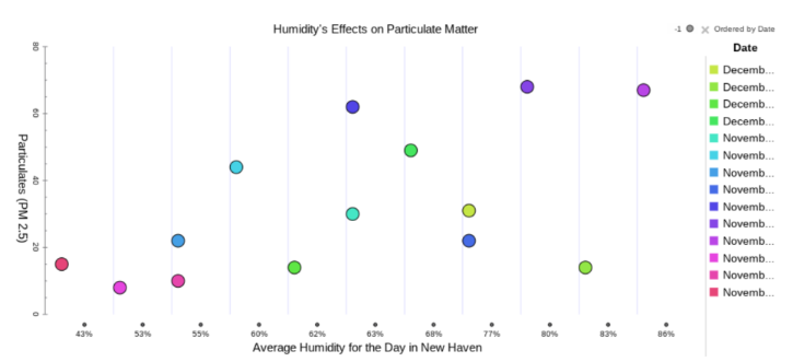
Graph Showing Positive Relationship Between Humidity and Particulate Matter
This graph, created by an 8th-grader in Foley’s class, investigated the relationship between particulate matter and humidity.

Foley has observed that once students notice one relationship, they begin to wonder if other variables are related. Tuva allows them to quickly and easily satisfy their curiosity. It starts a deeper conversation in which students begin to comprehend the complexity of Earth’s systems. 

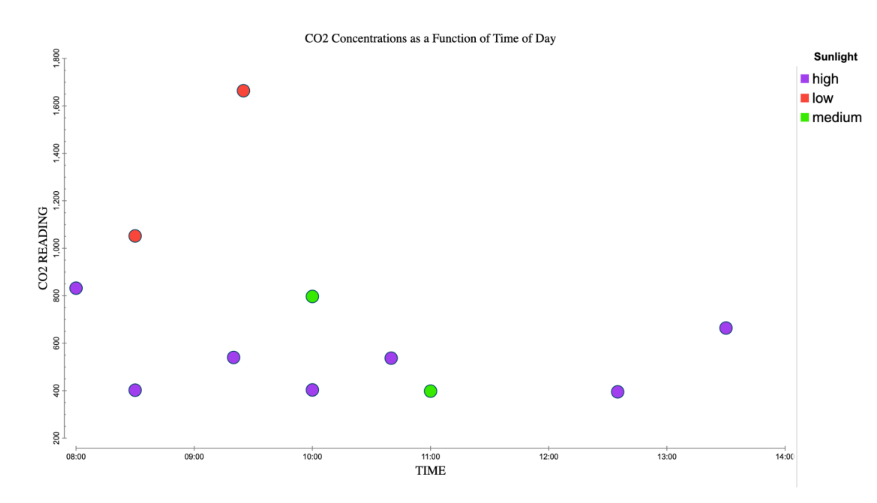
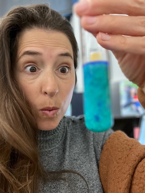
In addition to middle school science, Foley teaches a high school elective: Engineering Nature. In this higher level class, Foley expects her students to apply their understanding of interconnectedness to tackle pressing issues, such as climate change. Last year her students made biogeochemical terrariums and tracked CO2 concentrations over time. Then they geoengineered the terrariums to reduce the CO2 concentrations.

Foley’s emphasis on interconnected systems when these students were in the middle grades prepared them to take on this rigorous geoengineering challenge. In the long term, Foley‘s students will be prepared to face the complex problems of a complex world.

Accentuating the Power of Shared Data

California Teacher Spiri Bavelas Trains her Students to Know Their Way Around Messy Data

Working with data becomes second nature to students in Spiri Bavelas’ science classroom. Whenever they are completing an experiment in her class, students collect their own data and put it into a shared, class-wide spreadsheet. Then, Bavelas uploads the data into Tuva where students can manipulate and explore it. When Bavelas uses larger, messy datasets, she’s drawing from her years as a research assistant before she began teaching.

“You never are going to look at just five numbers in the real science world.”

“When I started, students collected four or five numbers and were supposed to come up with a big conclusion, but you never are going to look at just five numbers in the real science world,” she said. 

Bavelas has worked in a handful of different schools throughout California, but recently took a position at R. Roger Rowe Middle School in Rancho Santa Fe. Wherever she has been, Bavelas has engaged her students with large data sets. 

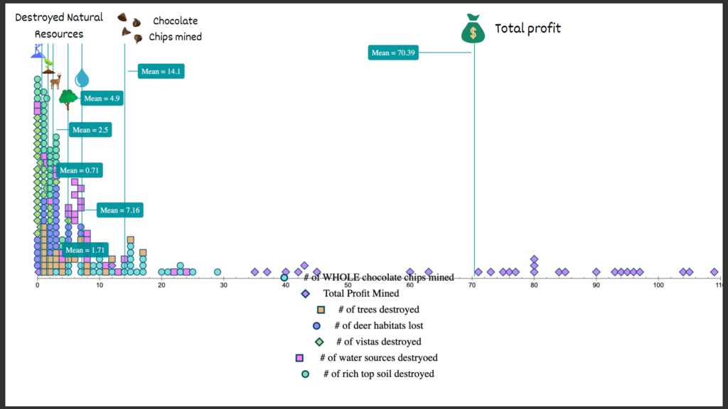
One of the lessons she hopes to impart to her students is that people can use data to make better decisions. Bavelas used a popular mining simulation to illustrate this concept during an environmental resources unit. Students placed cookies on grid paper and mined the chocolate chips, keeping track of expenses and income. Afterward, she instructed them to measure damage to the environment based on the number of grid squares where crumbs landed. By analyzing all of the data pooled from Bavelas’ classes, students gained insights into which mining strategies caused minimal harm, enabling them to develop new, environmentally-friendly, yet still profitable, methods of extraction.

Bavelas’ students use Tuva to generate graphs that include data from all of their classmates.

Bavelas also showcased the utility of collective data during an annual egg drop competition at one of her former schools. Engineering teams were awarded points for landing crafts that had a slow descent, hit the target, and kept the egg safe. Bavelas had been collecting egg drop data over multiple years. Students used the data from prior years to inform their design decisions. For example, the data revealed that a light lander is advantageous, but only up to a point. If the device is too light, it drifts off target.

“Data analysis is not just something you can do in one class,” Bavelas said. “Data can be a thing on a larger scale where you can collaborate with people that are not right next to you.”

Bavelas also wants her students to be aware that data displays can be manipulated to suggest certain conclusions. For example, she explained, if you look at a bar graph and zoom in on the differences it might look like the more massive car travels down a ramp faster. However, when you look at it on a larger scale, the difference is tiny, and calculations reveal there is no statistical correlation between mass and speed.

Whether it’s understanding the importance of sample size, utilizing data to make good choices, or being savvy enough to detect deceit, Bavelas hopes the lessons students learn in her science class will serve them well in whatever path they choose.

“I want the skills students obtain in science class to be a vehicle for better understanding and functioning in the entire world.”

Introducing the Second Tuva Science Collection — Atmosphere

“Have lights when other men are blind

As pigs are said to see the wind”

Aside from Ralph Waldo Emerson’s claim (paraphrasing William Butler), of all Earth systems, the atmosphere can be one of the hardest for (non- pig) students to perceive.

Although we breathe in atmosphere every minute, its chemistry, layers, air masses, and patterns of movement occur at large scales and are often invisible.

We can feel the wind, but how can we discern its large-scale geographical and temporal patterns? Through data, of course!

Following up from the release of our first Tuva Science Collection on Earth in Space,  today we are excited to introduce Tuva’s second science collection – Atmosphere.

Typhoon Halong Seen from the International Space Station

The Atmosphere Collection includes datasets and activities that explore differences among vertical layers in the atmosphere, geographic variability in atmospheric pollutants, and temporal changes in components of the atmosphere such as the stratospheric ozone layer.

Some of the activities also explore weather and climate data to make sense of how air masses move.

Key ideas supported by datasets and activities in Tuva’s Atmosphere Collection include:

  • The size of the Antarctic ozone hole changes seasonally and is correlated with atmospheric concentrations of CFCs.
  • Atmospheric concentrations of CO2 and other pollutants have increased during recent decades, as has human population.
  • Relationships between different atmospheric parameters can be modeled and predicted mathematically.
  • Air masses can transport pollutants from source areas to distant non-source areas.  
  • Human actions to mitigate air pollution can improve air quality.

The activities support NGSS performance expectations, such as exploring evidence for how motions and interactions of air masses result in changes in weather conditions (MS-ESS2-5), or analyzing geoscience data to forecast of the rate of change in the ozone hole (HS-ESS3-5).

These activities also support a number of CCSS-Math standards such as modeling relationships with linear equations.

Don’t forget to give your students opportunity to explore data on their own to make their own discoveries. Help your students learn to “see the wind” — through data!

The Earth in Space and Atmosphere collections are available for Tuva Premium Subscribers.